The concept originated in the United States as a way of interpreting information for soil conservation, by grouping multi-factor information (e.g., land, rock, soil, slope, vegetation, erosion) into homogenous map units with similar physical characteristics and limitations to provide an assessment of the long term agricultural production. Each land unit was assessed on a single numerical scale. Similar management and conservation practices would apply to land with the same grading.
During the 1950s, a series of land capability surveys were carried out in New Zealand, resulting in the adoption of the United States eight class system. The land mapping system adapted for New Zealand conditions, comprised two key sets of information for each map unit – a multifactor inventory and a LUC classification.
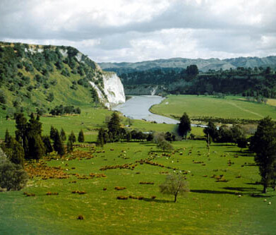
Between 1973-1979, the Ministry of Works and Development, on behalf of the National Water and Soil Conservation Authority, carried out a nationwide survey producing the 1st edition 1:63,360 (one inch to one mile) land use capability (LUC) worksheets with extended legends. The country was divided into 12 regions. Each region had a separate LUC classification, and 8 bulletins, with more supporting information, were published for several regions. The worksheets were digitised and stored in an early geospatial database system.
A land capability classification for urban areas (Jessen 1987) was also developed and applied, and used by a few councils for urban planning and hazard mapping at detailed scales (e.g. Whangarei and Palmerston North City Council).
Four regions were remapped at a scale of 1:50,000, and limited revisions were made to the lithology, erosion and vegetation definitions and symbols. Using a Geographical Information System (GIS), all NZLRI mapping was converted from 1:63,360 to 1: 50,000 scale between 1987 and 1990; this involved laboriously checking all map unit polygons against aerial photos and topographic maps for geo-corrections of latitiude/longitude, coastlines, lakes, trigs, etc. to topo maps in order to correct all mapping units.
In the mid-1990s, funding for the regional-scale mapping ceased, and the NZLRI database has remained in a static state and some of the information is now outdated. During this period, catchment authorities and later some regional councils, produced detailed land capability maps and soil conservation plans of farm properties.
In 2011, the NZLRI datasets were moved with other land resource data onto Manaaki Whenua’s Land Resource Information System (LRIS) database. LRIS now contains archived hard copy and digital land resource information, derived data sets, and an associated suite of analytical models for generating derivative and integrative interpretations.
Since 1993, the database forms one of the country’s the Nationally Significant Collections and Databases.