What are you looking for?
Use our Quiz below to find what type of information you are looking for:
How does the LUC work?...
How do I access LUC data?...
What controls how land is developed?...
How is Māori data protected?
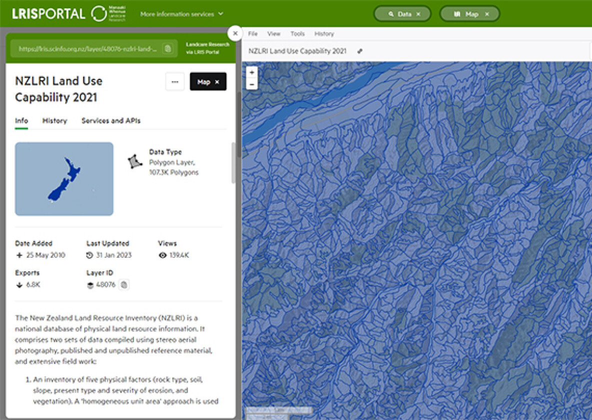
A spatial LUC layer for viewing and download
Land Use Capability 2021
The New Zealand Land Resource Inventory (NZLRI) is a national database of physical land resource information. It comprises two sets of data compiled using stereo aerial photography, published and unpublished reference material, and extensive field work.
The latest update (Edition 3) includes a new National Land Use Capability legend correlated for all regions across New Zealand. Attributes include original LUC units codes and unit descriptions so that users more familiar with original regional codes and North Island correlations can track the pedigree of units from old to new codes and descriptions.
The latest update (Edition 3) includes a new National Land Use Capability legend correlated for all regions across New Zealand. Attributes include original LUC units codes and unit descriptions so that users more familiar with original regional codes and North Island correlations can track the pedigree of units from old to new codes and descriptions.
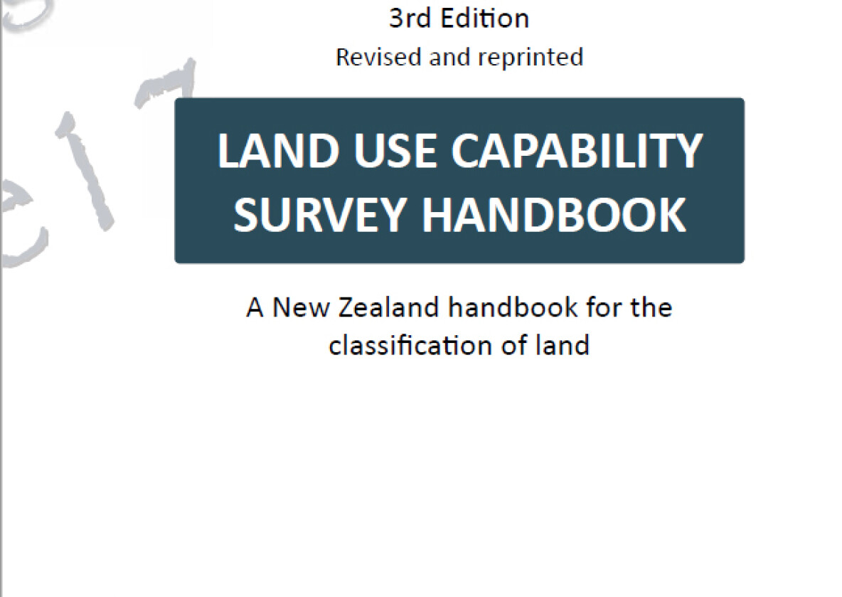
A New Zealand handbook of land classification
Land Use Capability Survey Handbook (3rd Edition)
The handbook introduces the reader to the contemporary methods and standards of the LUC system, including how to prepare a physical inventory of the land resource, rank land according to its general capability for sustained production, identify the dominant limitations to sustainable use and classify similar areas of land for selective use and management.
Manaaki Whenua – Landcare Research
Science for our land and our future - Tō tātou whenua, mō āpōpō.
We are New Zealand’s Crown Research Institute (CRI) for our land environment. Our ambition is that New Zealanders use our land, soil, and water resources wisely. Finding a healthy way to balance land and ecosystem use is critical to our future prosperity, using information and tools to support effective management of our land resources.