An extended legend is an extension of the map legend. It summarises inventory description by each LUC unit, and typically provides supplementary information regarding land qualities and management consideration in a form easily understood by users.
Extended legends provide a framework for consistent allocation and ordering of LUC into units and suites through a series of steps commencing with understanding landforms, rock types and soils. Units are arranged in suites within this hierarchy of landform, rock type and soils which guide the allocation of LUC to units based on the inventory (See section 3.5 of the LUC handbook).
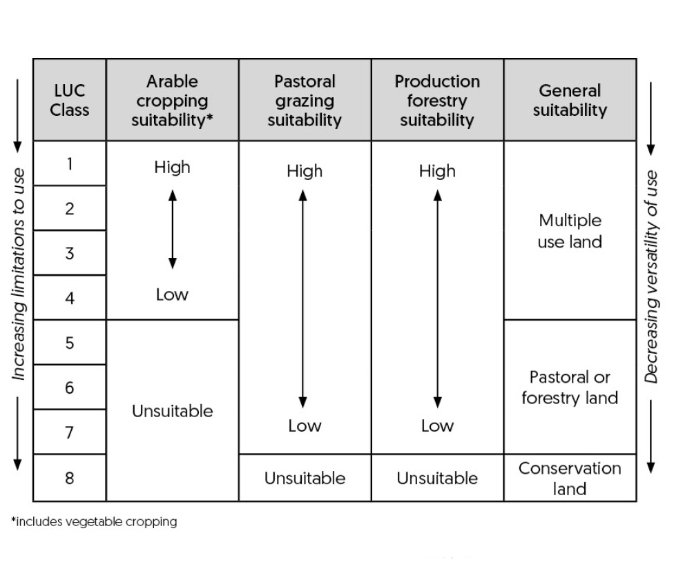
The legend describes the general nature of each unit, including a summary of land resource inventory, climate, land use and other factors influencing land use capability. Soil conservation and land management requirements are outlined together with its suitability for cropping, pastoral use, production forestry and watershed protection.
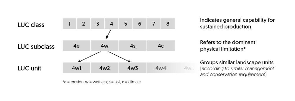
Within extended legends, LUC units are arranged (within LUC sub-classes) in orders of decreasing versatility and increasing degree of limitation to use (e.g. 7e5 would have a higher use capability than 7e8 but not as high as 7e2).
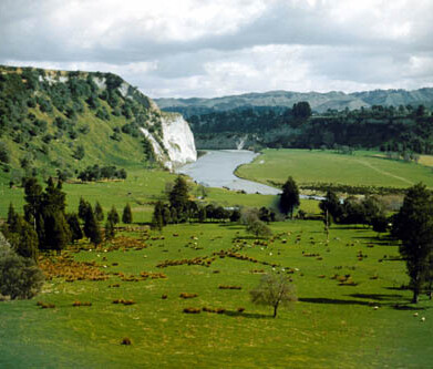
The New Zealand Land Resources Inventory (NZLRI) mapping project of the 1970s and 1980s mapped LUC regionally. Although data were stored in an earlier Geographic Information System (GIS) the main method of spreading the information was via paper maps (NZLRI worksheets).
The regions were defined at the time of mapping and do not necessarily reflect modern regional government boundaries. This meant that LUC units that have the same inventory but occurred in different regions at the time of mapping were not guaranteed to have the same LUC unit code. Small areas with a LUC unit rare on one side of a regional boundary may be lumped in with a similar more common unit which may be just across the boundary.
The regional classification was divided into 12 ‘LUC regions’, 11 in the North Island and one for the South Island under the 1st Edition NZLRI mapping. This changed for the 2nd Edition as Marlborough in the South Island was separated to its own regional classification. Each regional classification uses its own slightly different classification at the unit level (e.g. 2w1 in one region may not be the same as a 2w1 from another region).
A standardised National Land Use Capability extended legend, developed by Ian Lynn correlates, amalgamates, and rationalises the most up to date 1st and 2nd Editions regional LUC units and provides a single LUC unit description and coding applicable across the whole country.
The latest edition of the NZLRI layer includes the new legend. Attributes include original LUC units codes and unit descriptions so that users more familiar with original regional codes and North Island correlations can track the pedigree of units from old to new codes and descriptions.