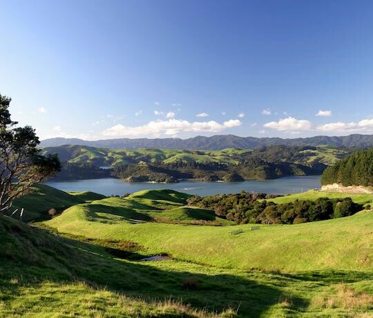
The NZLRI represents an implementation of LUC mapping across New Zealand at a scale of 1:63,360 and 1:50,000 (i.e., at regional scale) using the best available base data knowledge and reconnaissance field survey at the time of mapping.
The NZLRI classification and assessment of land is based on an assessment of five physical factors:
- rock types,
- soils,
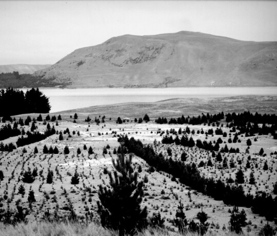
- landform and slopes,
- erosion types and severities,
- vegetation cover
A detailed description of those factors can be found on pages 14 to 46 of the Land Use Capability Survey Handbook (3rd Edition).
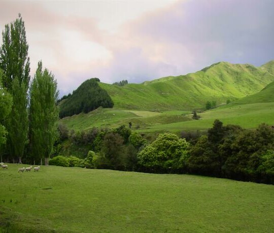
Productive capacity depends largely on the physical qualities of the land, soil, and the environment. Differences between what would be ideal for the land, and the actual physical qualities, may be regarded as limitations imposed by the soil, and the environment. These limitations affect productivity, the number and complexity of corrective practices needed, and the intensity and manner of land use that is sustainable.
Limitations include:
- susceptibility to erosion,
- steepness of slope,
- susceptibility to flooding,
- liability to wetness or drought,
- salinity,
- depth of soil,
- soil texture,
- structure and nutrient supply,
- climate
NZLRI can be supplemented with information on climate, flood risk, erosion history, and the effects of past practices.