Whenua Māori Visualisation Tool
What is the Whenua Māori Visualisation Tool?
In a nutshell, it's a website intended to help Māori land owners and managers find out more about the physical characteristics, constraints and potential of their whenua Māori.
Whenua Māori Visualisation Tool
Up-to-date environmental and land resource data
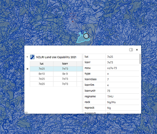
To use this site type the registered name or block ID of your Whenua Māori in the search box. Alternatively using the map, zoom to the location of your land block and click on the land block's boundary. Additional technical information about the attribute is provided via the “Learn More...” link at the bottom of each section.

| Coverage: New Zealand | Date: Launched in 2009. Additional updates as data become available | License: Terms of Use |
Key features
- Environmental data modelled and interpreted for each Māori land block
- Land block information pages include information on title, climate, land capability and land cover
- Extensive information on land resource characteristics, versatility for use, land suitability, sustainable land use recommendations and land potential
- There are eleven geospatial layers that you can visualise in relation to the Māori land blocks
- Provides different methods to find and query Māori land blocks (registered name or block ID, map, search the general locality of the land block )
- The map tools enable the panning and zooming of the map
Basic spatial visualisation package
Access and visualise environmental data for Māori land blocks
A collection of publicly available shapefiles, intended as a place for interested landowners, community groups, and iwi to start visualising their current conservation efforts and map out where they can focus future endeavours to achieve conservation goals. It is intended as a place for interested landowners, community groups, and iwi to start visualising their current conservation efforts and map out where they can focus future endeavours to achieve conservation goals.
Learn more about the package


